[1. 簡介] [2. 旅遊建議/食宿交通] [3. Sightseeing] [4. Winter Activities] [5. Wildlife Watching] [6. Day Hiking] [7. Other Activities] [8. Who's Who in the Park] [9. More about the Park] [10. 感想]
6. Day Hiking
[6-1. Mount Washburn] [6-2. Artists Paintpots] [6-3. Trails at the Grand Canyon of the Yellowstone] [6-4. Natural Bridge] [6-5. Ranger-Led Hike: Lupine Loop Walk] [6-6. Mystic Falls] [6-7. Bunsen Peak] [6-8. Beaver Ponds Loop] [6-9. Lone Star Geyser] [6-10. The Hoodoos] [6-11. Petrified Trees of Specimen Ridge] [6-12. Pelican Creek Nature Trail] [6-13. Cascade Lake] [6-14. Monument Geyser Basin] [6-15. Fairy Falls/Imperial Geyser] [6-16. Elephant Back Mountain] [6-17. Hellroaring Creek] [6-18. Yellowstone River Overlook] [6-19. Trout Lake] [6-20. Riddle Lake] [6-21. Point Sublime] [6-22. Storm Point] [6-23. Lake Overlook] [6-24. Wraith Falls] [6-25. Little Gibbon Falls] [6-26. Osprey Falls] [6-27. Narrow Gauge Terrace] [6-28. Slough Creek] [6-29. Harlequin Lake]
6-22. Storm Point

Figure 6-22.1: Storm Point的步道口。

Figure 6-22.2: 太陽在雲間穿梭,地上時亮時暗。
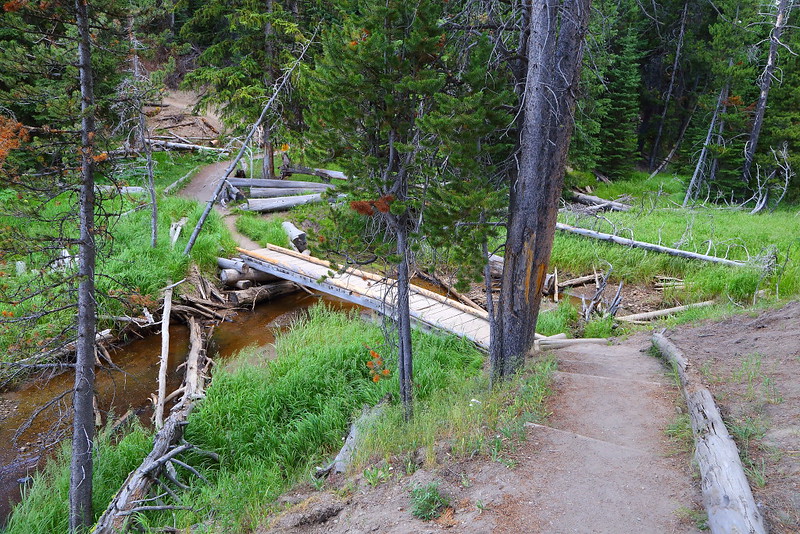
Figure 6-22.3: 到達Storm Point前得穿過一片樹林。

Figure 6-22.4: 穿過樹林後會看到Yellowstone Lake,往前走不久就是Storm Point。
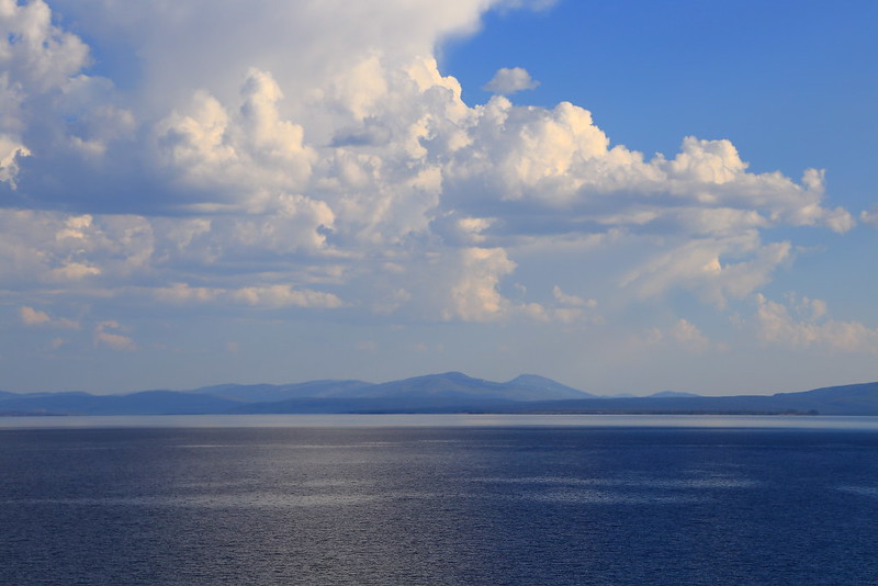
Figure 6-22.5: Yellowstone Lake很大,看起來像是遠方有山的海。
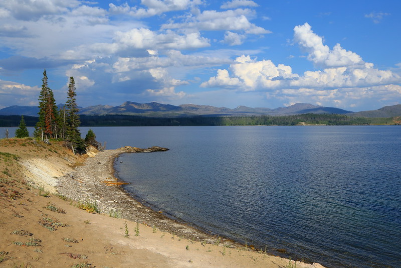
Figure 6-22.6: 離開Storm Point沿著湖邊走一小段路後看到的景色,背景的山是Absaroka Range。
Storm Point是Yellowstone Lake湖邊的一個眺望點,可以靠一個來回約2 miles的步道到達,步道口在往East Entrance的路上,大概在離Fishing Bridge約五分鐘車程的地方,就在Pelican Creek Nature Trail步道口的下一個路邊停車。
這步道可以視為是Pelican Creek Nature Trail的加長版,調調也很像,沒甚麼坡度且不少路段都有lodgepole pine的樹林遮陽,所以算是個很適合親子同遊的步道。在走了一段視野開闊的路後會進入樹林,之後會走一個loop到Storm Point欣賞Lake Yellowstone的湖光山色,然後沿著湖岸走一段路後回到樹林完成這個loop,再走原路回到步道口。
能看到Yellowstone Lake的地方不少,我不覺得Storm Point這地方有任何特別之處,踏青的成分大於欣賞美景,屬於舒服好走的步道。話雖如此,當時走在樹林時被蚊子騷擾,即使當時已經是八月且是下午較熱的時間;回程時更嚴重,只能快步走動趕快逃離樹林。
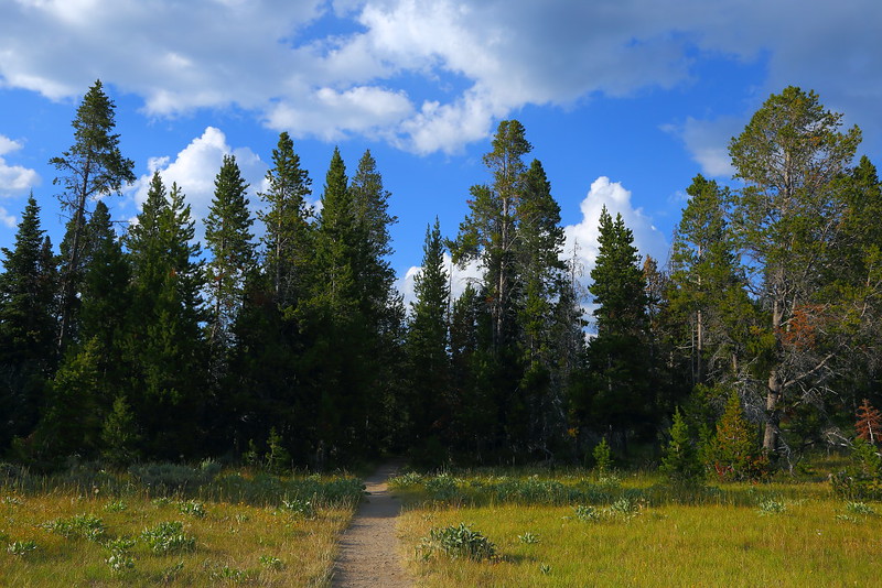
Figure 6-22.7: 回程得重新走進樹林。
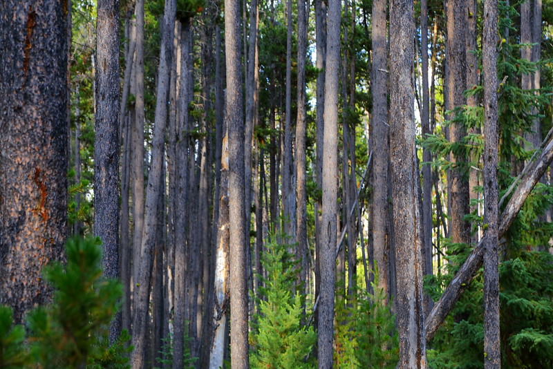
Figure 6-22.8: 樹林裡的樹大都是lodgepole pine。
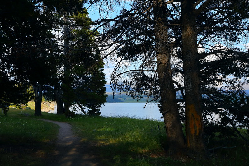
Figure 6-22.9: 樹林旁的Yellowstone Lake。

Figure 6-22.10: 這地方正要完全走出樹林,這時太陽已從雲間穿出。

Figure 6-22.11: Indian Pond上的倒影。
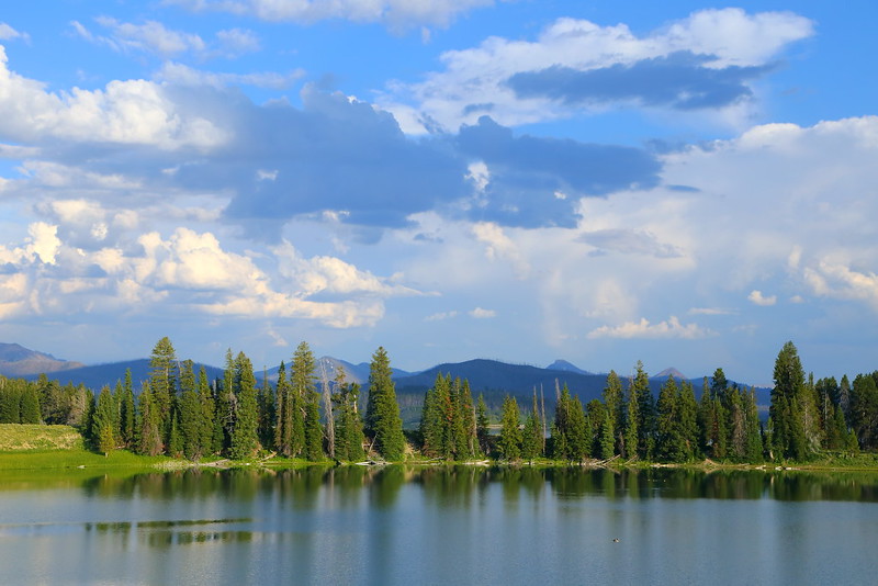
Figure 6-22.12: Indian Pond就在步道口,剛開始走的時候沒有陽光,回程時太陽出來比較好看。
即使這步道不長,一個人走還是有遇到grizzly bear的顧忌,步道上能夠遇到多一點人還是比較保險,即使隨身有攜帶bear spray。開始走的時間大概是五點,步道上還剩幾輛車子,想說應該還可以而決定走這一趟。結果在loop開始前的樹林裡遇到一組人後就都沒遇到人,早個十分鐘出發應該會好很多,不至於成為步道上最後一個人。
公園在這步道有舉辦ranger-led hike,今年因為疫情當然取消了這類的群聚活動。雖然這並不是個非走不可的步道,但可以當作是個備案,陰錯陽差下也許會派上用場。
Previous Next
[6-1. Mount Washburn] [6-2. Artists Paintpots] [6-3. Trails at the Grand Canyon of the Yellowstone] [6-4. Natural Bridge] [6-5. Ranger-Led Hike: Lupine Loop Walk] [6-6. Mystic Falls] [6-7. Bunsen Peak] [6-8. Beaver Ponds Loop] [6-9. Lone Star Geyser] [6-10. The Hoodoos] [6-11. Petrified Trees of Specimen Ridge] [6-12. Pelican Creek Nature Trail] [6-13. Cascade Lake] [6-14. Monument Geyser Basin] [6-15. Fairy Falls/Imperial Geyser] [6-16. Elephant Back Mountain] [6-17. Hellroaring Creek] [6-18. Yellowstone River Overlook] [6-19. Trout Lake] [6-20. Riddle Lake] [6-21. Point Sublime] [6-22. Storm Point] [6-23. Lake Overlook] [6-24. Wraith Falls] [6-25. Little Gibbon Falls] [6-26. Osprey Falls] [6-27. Narrow Gauge Terrace] [6-28. Slough Creek] [6-29. Harlequin Lake]
[1. 簡介] [2. 旅遊建議/食宿交通] [3. Sightseeing] [4. Winter Activities] [5. Wildlife Watching] [6. Day Hiking] [7. Other Activities] [8. Who's Who in the Park] [9. More about the Park] [10. 感想]


No comments:
Post a Comment