[1. Introduction] [2. Hiking] [3. Winter Activity] [4. Fall Color]
2. Hiking
[2-1. Emerald Lake/Aspen Grove Trail] [2-2. Lake Blanche] [2-3. Bells Canyon] [2-4. Silver Lake Loop] [2-5. Red Pine Lake] [2-6. Donut Falls]
2-5. Red Pine Lake
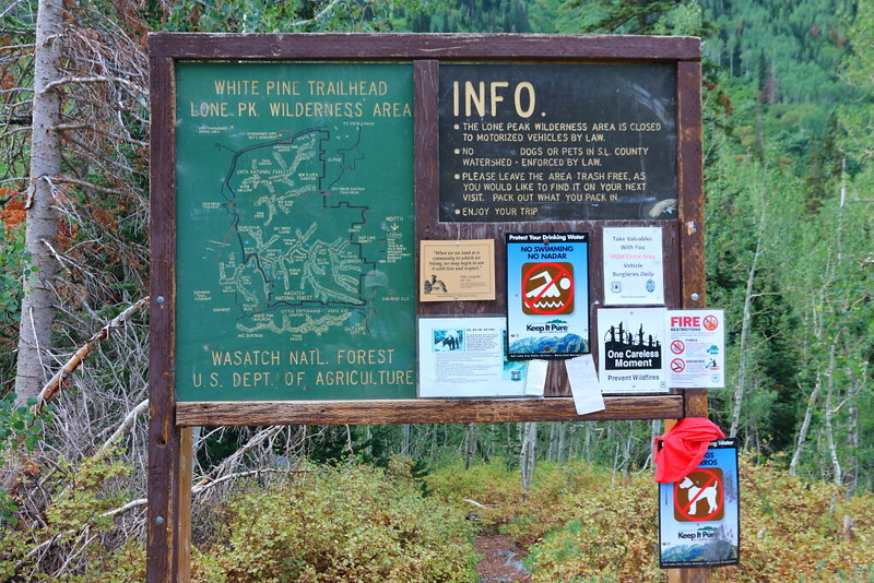
Figure 2-5.1: White Pine Lake的步道口,走不用多久後會有另一段路到達Red Pine Lake。

Figure 2-5.2: White Pine Lake與Red Pine Lake的分叉點。
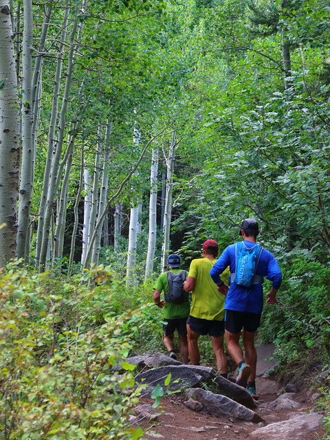
Figure 2-5.3: 這些年來越來越常在這類步道上看到trail runner。

Figure 2-5.4: 步道大部分的路段都在樹林裡。

Figure 2-5.5: 夏天某些路段的花況不錯,這是monkshood。

Figure 2-5.6: 常見的fireweed在七月中也已經開花。

Figure 2-5.7: 這地方離Red Pine Lake只剩下不到十分鐘,meadow裡開了一片黃花。
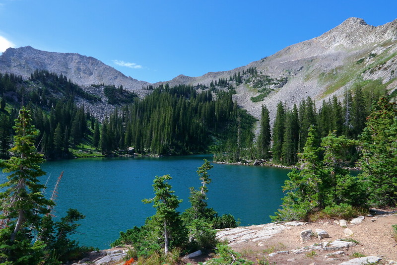
Figure 2-5.8: 到達Red Pine Lake。
Red Pine Lake是Wasatch Mountains的一個高山湖,也是附近居民夏天周末的熱門去處。這個高山湖的海拔在9,600 feet左右,可以靠來回7 miles且爬升2,000 feet的步道到達,對平常沒在走動的人來說難度不低。好消息是步道狀況相當好,沒有看到危險的路段,加上大部分的時候都走在樹林裡且上坡的坡度分配很平均,實際走起來比帳面上的數字來得容易。
雖然目的地是Red Pine Lake,但步道口是位於Little Cottonwood Canyon的White Pine Lake步道口,在通往White Pine Lake的步道上走一小段路後會看到前往Red Pine Lake的叉路,之後一路緩緩上坡就會到達Red Pine Lake。這步道口還蠻熱門的,我早上到的時候停車場全滿,剛好遇到一組backpackers返程開走車才順利找到停車位。
整個區域屬於Wasatch National Forest的管轄範圍,對於常在national forest步道hiking的人很容易會看到不少人帶著狗一起走,不過包括Little Cottonwood Canyon以及Big Cottonwood Canyon等區域因為屬於水源保護區,不只是不准帶狗走步道,峽谷的任何地方都不准有狗,包括路邊停車或是野餐區。
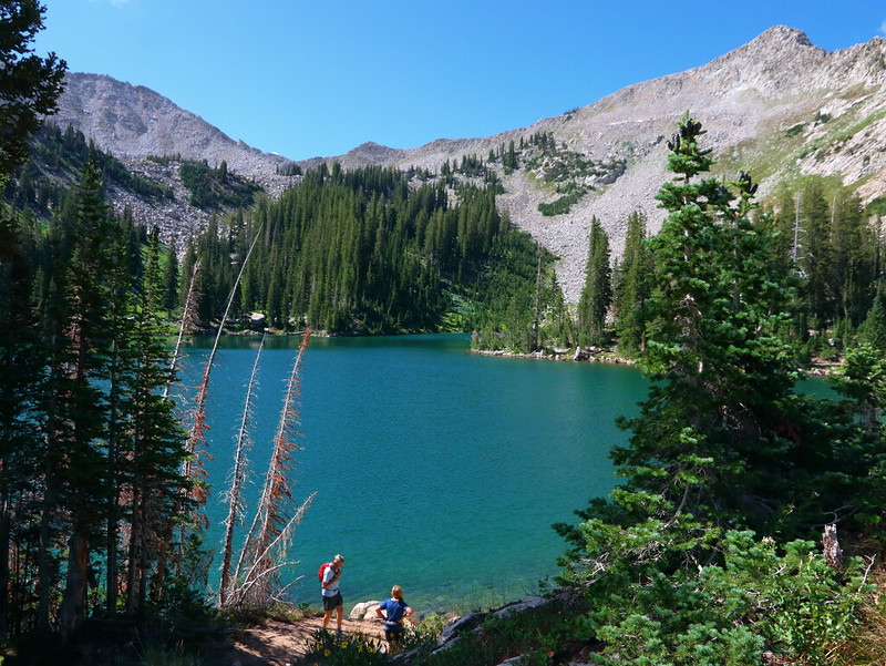
Figure 2-5.9: 有興致的話也可以走到湖邊。

Figure 2-5.10: 這角度是望離湖邊看到Little Cottonwood Canyon峽谷上方的山峰。

Figure 2-5.11: 回程路上的Lewis monkeyflower。
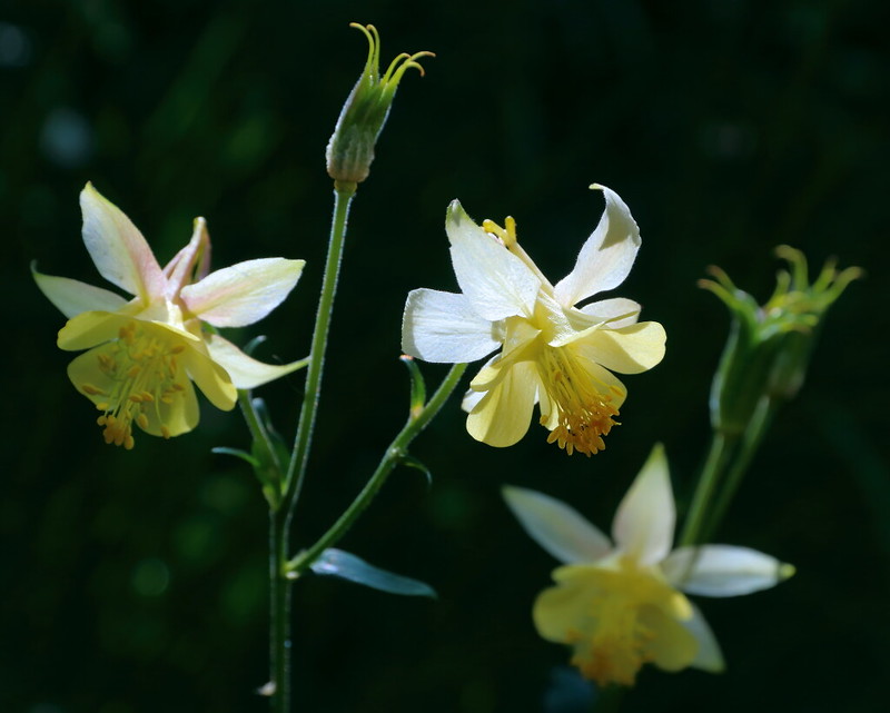
Figure 2-5.12: 這應該是golden columbine。
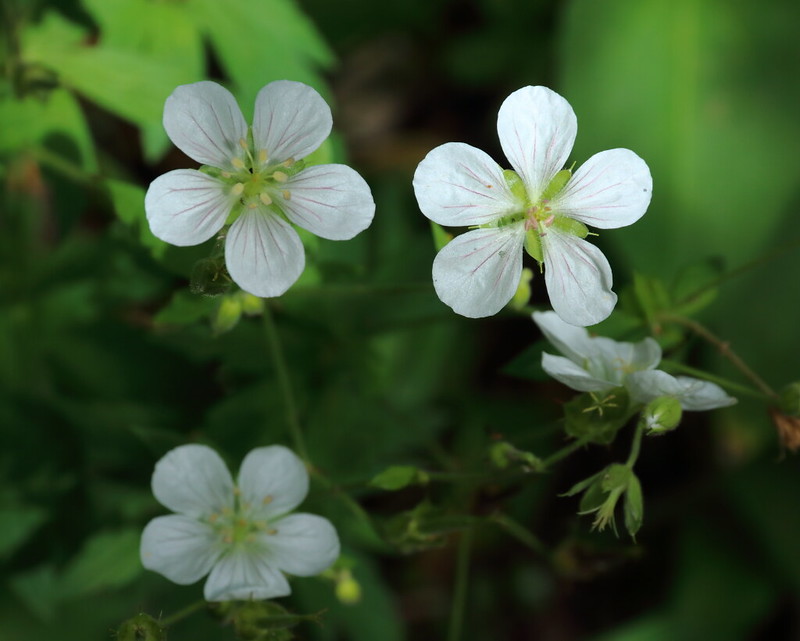
Figure 2-5.13: 另一種步道旁看到的野花Richardson's geranium。

Figure 2-5.14: 這區域另一種很常見的野花cow parsnip。
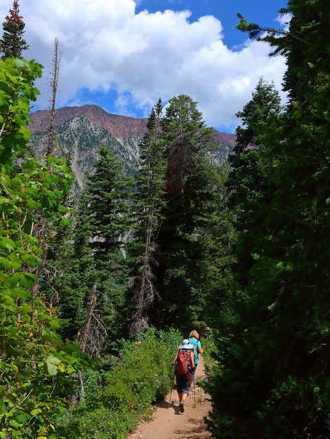
Figure 2-5.15: 雲開始在下午的天空堆積,有時候可能會有午後陣雨。

Figure 2-5.16: 下方就是Little Cottonwood Canyon,這角度是往西一路望向峽谷口。
實際上有兩個Red Pine Lake,官方步道到達的是Lower Red Pine Lake,有興致與體力的話可以繼續走向Upper Red Pine Lake。此外,步道終點眼前所看到的Red Pine Lake是1920年蓋的水壩所形成,但我不確定這湖完全是水壩造成或是水壩只是用來增加原有湖水的深度與廣度,這水壩在湖的西側且可以走過去到另一側。
就湖的周遭風景來說我覺得不算特別,避暑休閒的功能大於觀光,符合我走之前的預期,而我在湖邊也沒有待太久。不過沿路的野花倒是出乎我意料之外的好,也是這趟走下來最令人開心之處。低海拔的路段有不少quaking aspen與Gambel oak等秋天會變色的闊葉樹,秋天走應該也會有另一番樂趣。
如果我是住在鹽湖城的居民,這會是我三不五時來走走健身的地方。對於外來的人,這不算是必走的步道,因為CP值不算高,但如果有空且有體力是可以列為選項就是。
Previous Next
[2-1. Emerald Lake/Aspen Grove Trail] [2-2. Lake Blanche] [2-3. Bells Canyon] [2-4. Silver Lake Loop] [2-5. Red Pine Lake] [2-6. Donut Falls]
[1. Introduction] [2. Hiking] [3. Winter Activity] [4. Fall Color]


No comments:
Post a Comment